This is the last Costa Rica post until we leave for the States. Maybe we’ll spend more than a couple of days in Costa Rica after visiting Panama and before we depart from San Jose, but I very much doubt there will be anything of interest to write about Costa Rica then. The next posts will be about Panama, where we are now.
The most pristine lowland tropical area of Costa Rica is the Osa Peninsula in the southwest. Much of it is parkland. There is a paved road down the east side about a quarter of the way around, and a poor dirt and gravel road for another quarter of the way. In the northern part, there is a road, but we were told it’s closed in the rainy season. In the northern part, there is a resorty area called Drake, after the explorer, but it’s only reachable by boat. In the southeast, the paved road goes to a proper town called Puerto Jimenez. That’s where we based ourselves and where, conveniently, there was an Alamo to drop off the car.
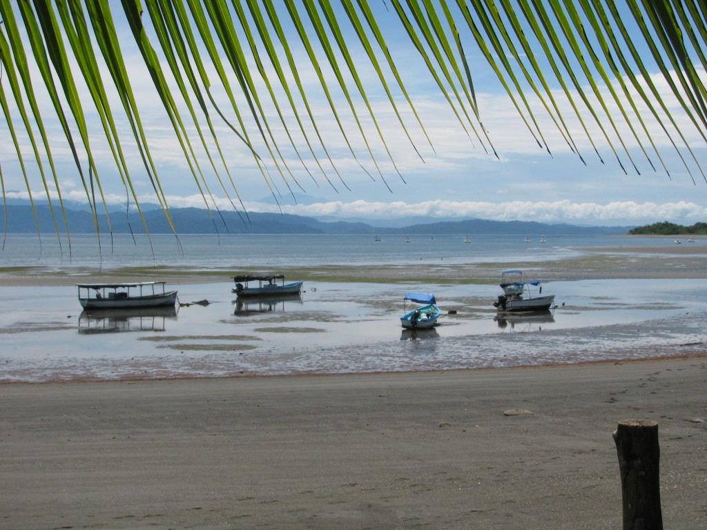
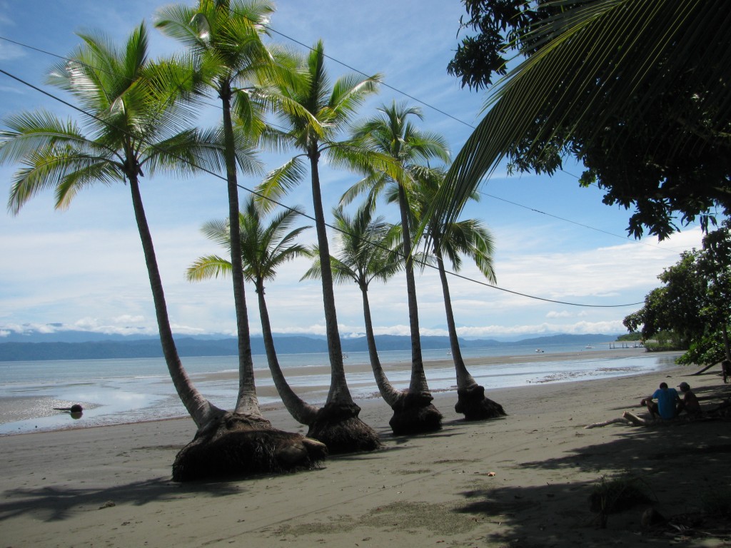
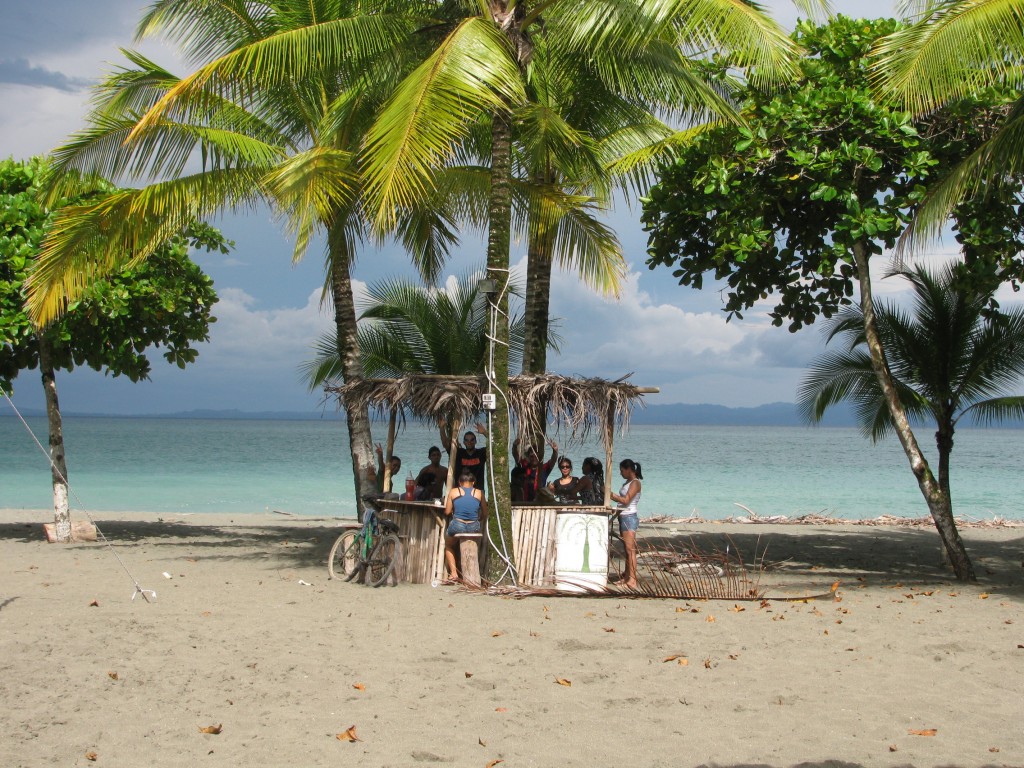
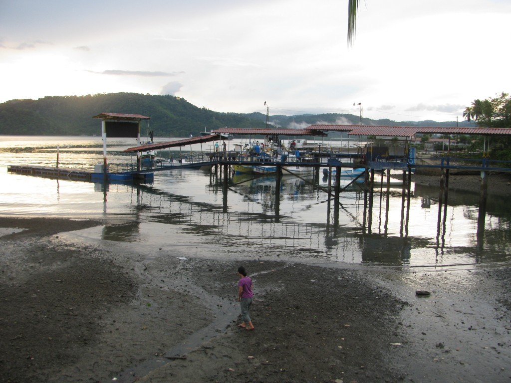
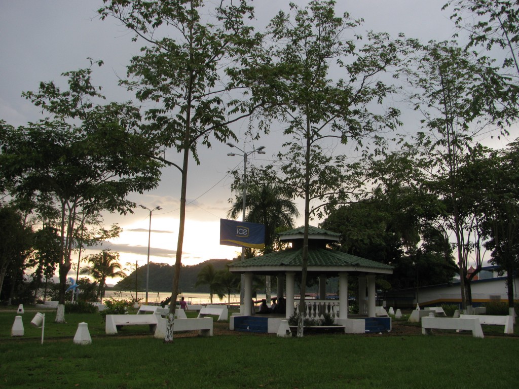
Puerto Jimenez has nothing to distinguish it. We have a few pictures of the shoreline.
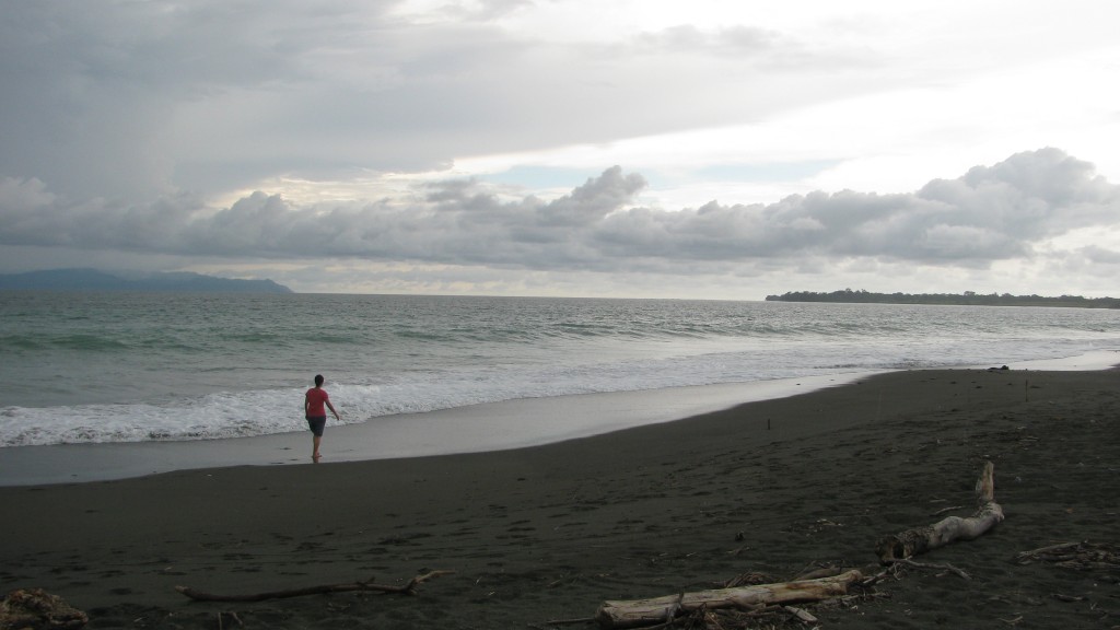
Here’s a beach several kilometers along that bad dirt road beyond the town.
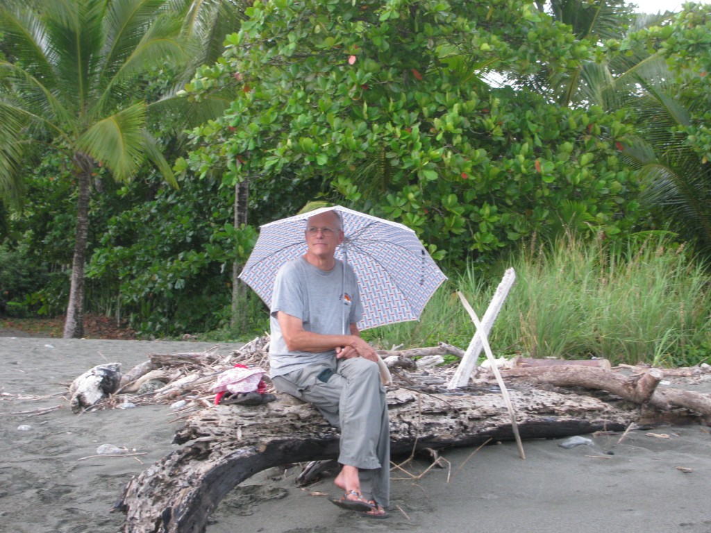
Myung got her toes wet. I mostly sat among the driftwood piles and stayed out of the rain.
The beach bar scene isn’t exactly Cancun. This is it. Party down!
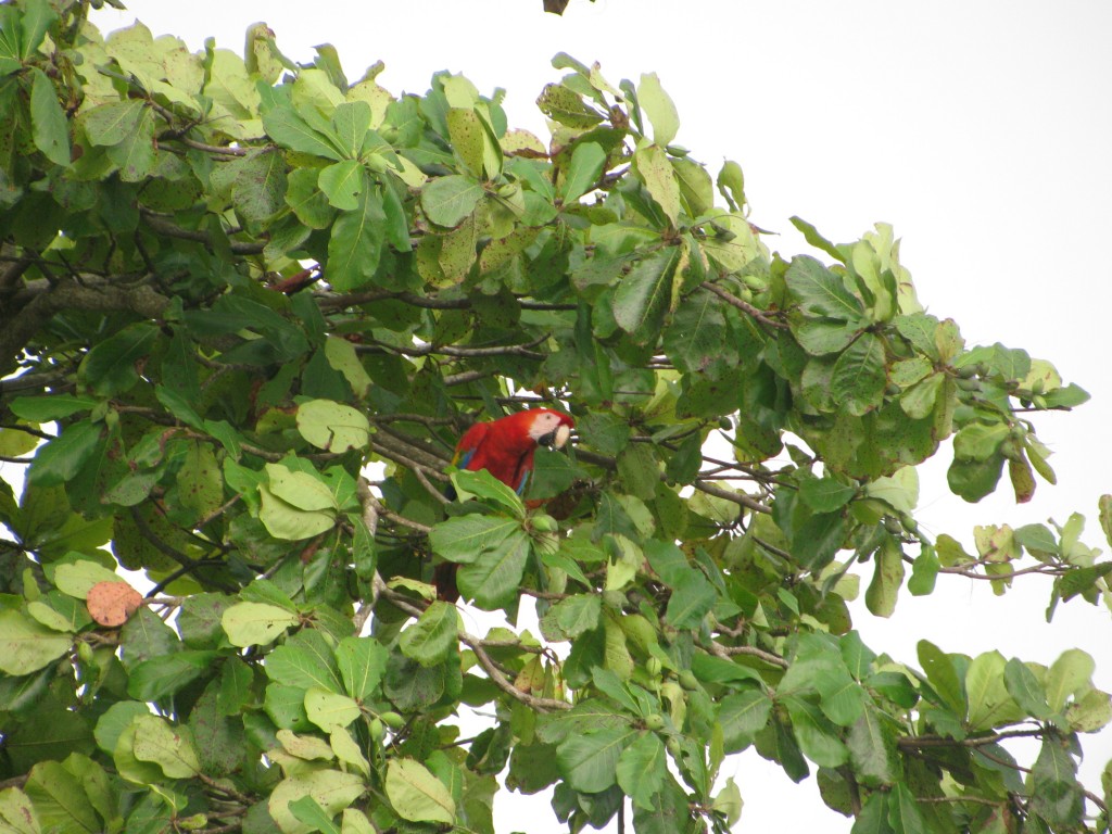
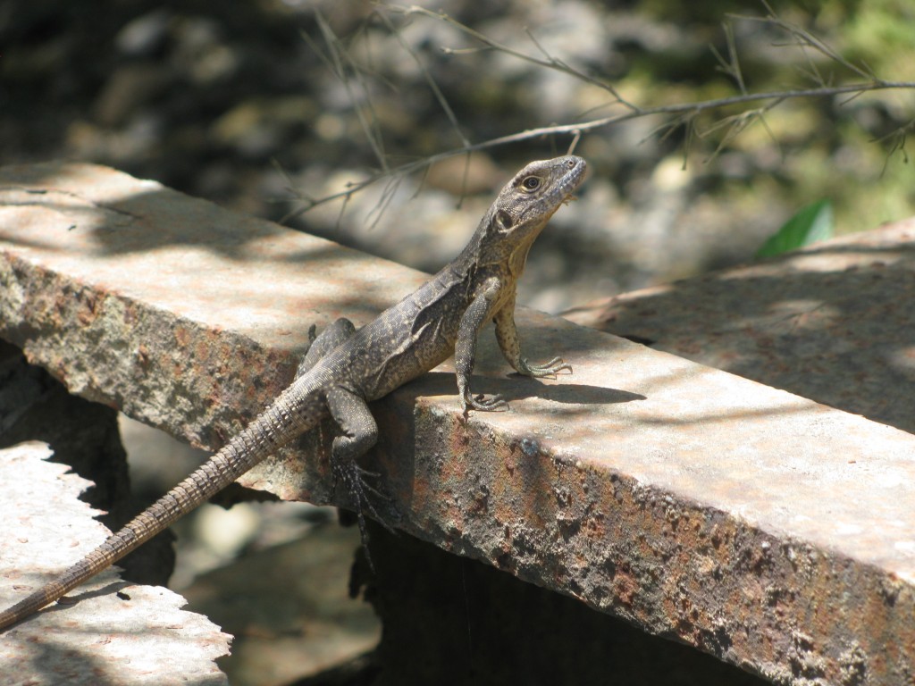
Most tourists either just visit the town or go on an expensive tour to Corcovado National Park, which starts at the end of the bad road. We did probably the same thing, though without the guide, by heading for a “hostel” deep in the forest on private land abutting the park. One dirt road goes about 10km into the forest to a hamlet called Dos Brazos. Just past there is the home of a guy who bough A LOT of land, put a place to stay in it, and had locals build a trail system. I’ve been in several jungles, and this qualifies as out there. All kinds of animals, birds and insects are common. We still don’t have great pictures of the scarlet macaws, but we saw many. These are the same birds that were on the fence at Copan Ruins.
One nesting spot is tricked out with a place to hang out and gaze at them up in the trees.
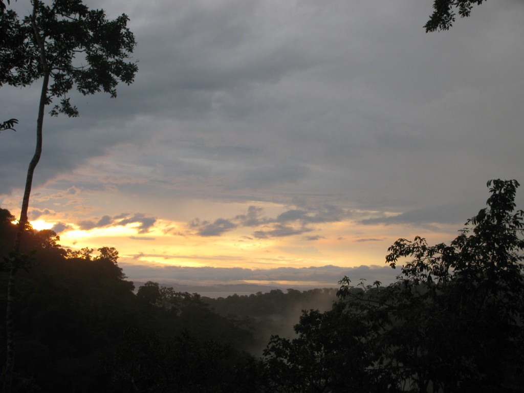
A little farther up is a better view back toward the little gulf between there and the main part of Southern Costa Rica.
So many big views and little views.
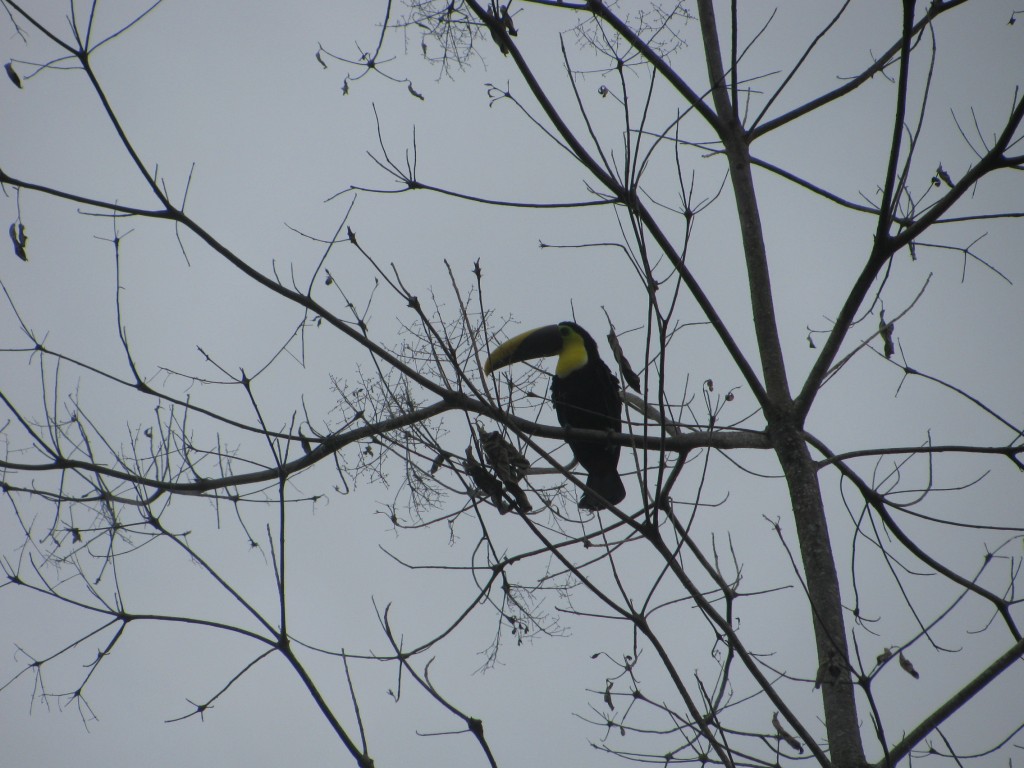
When we went to Tortuguero, we felt very fortunate to see a couple of toucans from a distance and one flying overhead. Here, they are everywhere.
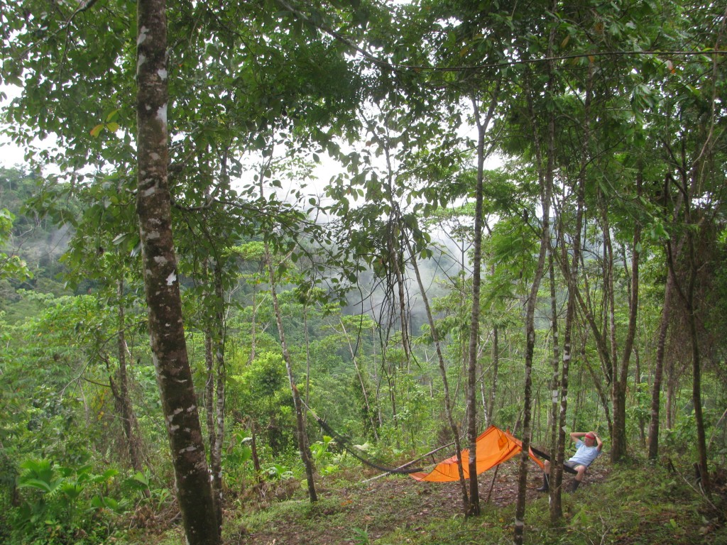
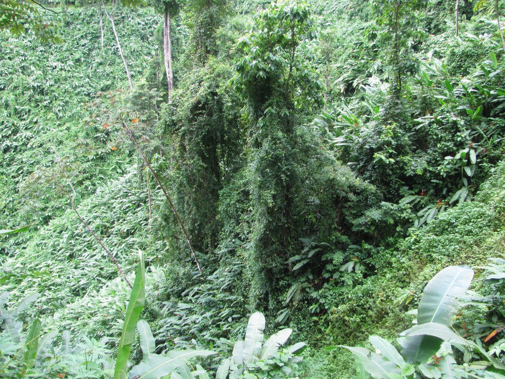
These trails are narrow and overgrown in many places. This one goes around the right side of the tree. You often can’t see where youre going till you get there and, even still, we made a few wrong turns.
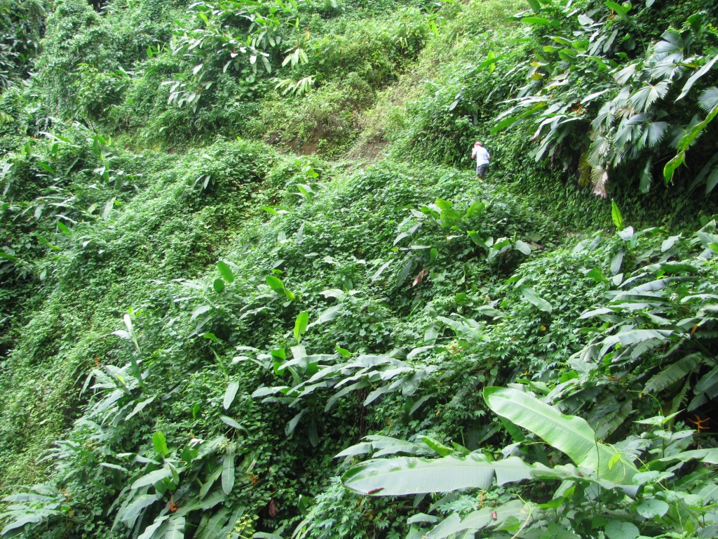
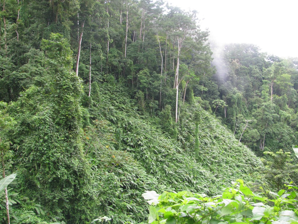
Then it goes along the mountainside. Where’s Waldo?
Here’s the look back. It goes on like that for many kilometers.
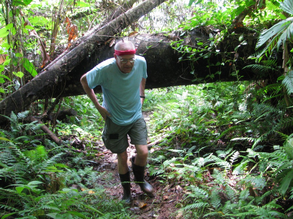
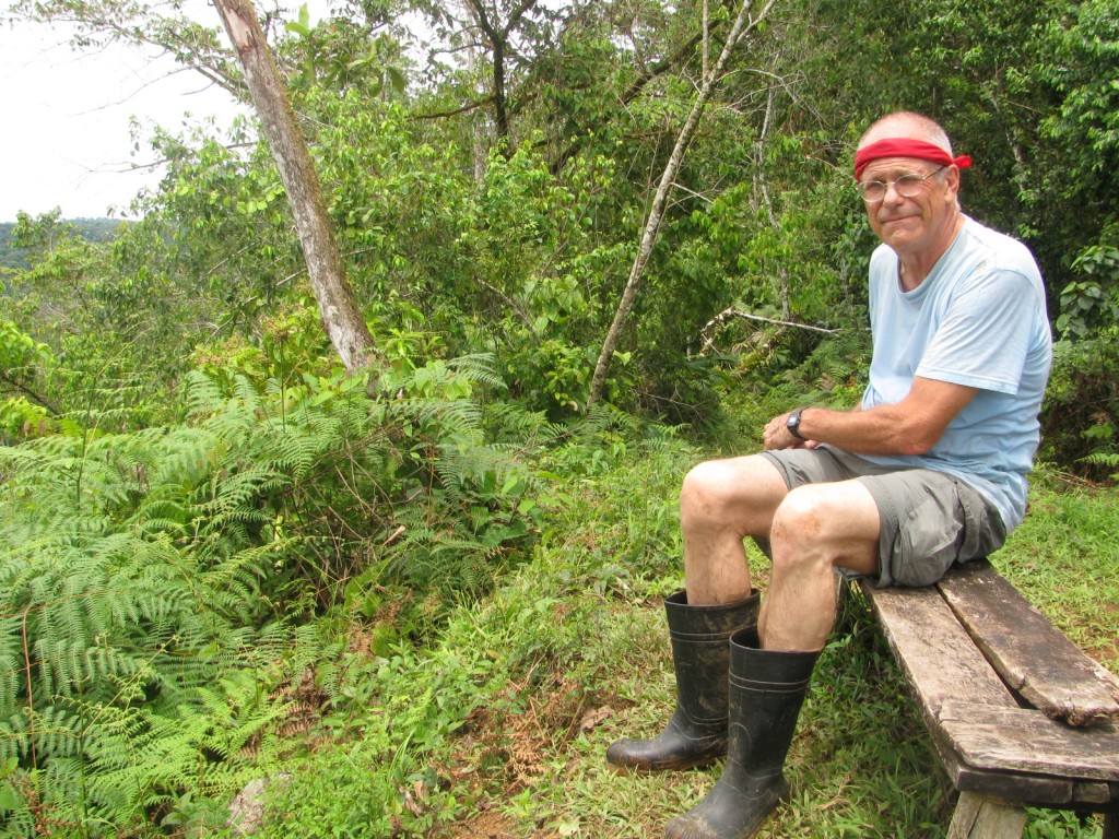
And it’s hot and sloppy. That shirt was soaked with sweat within about 15 minutes and the rubber boots are muddy. The photographer is tough as nails.
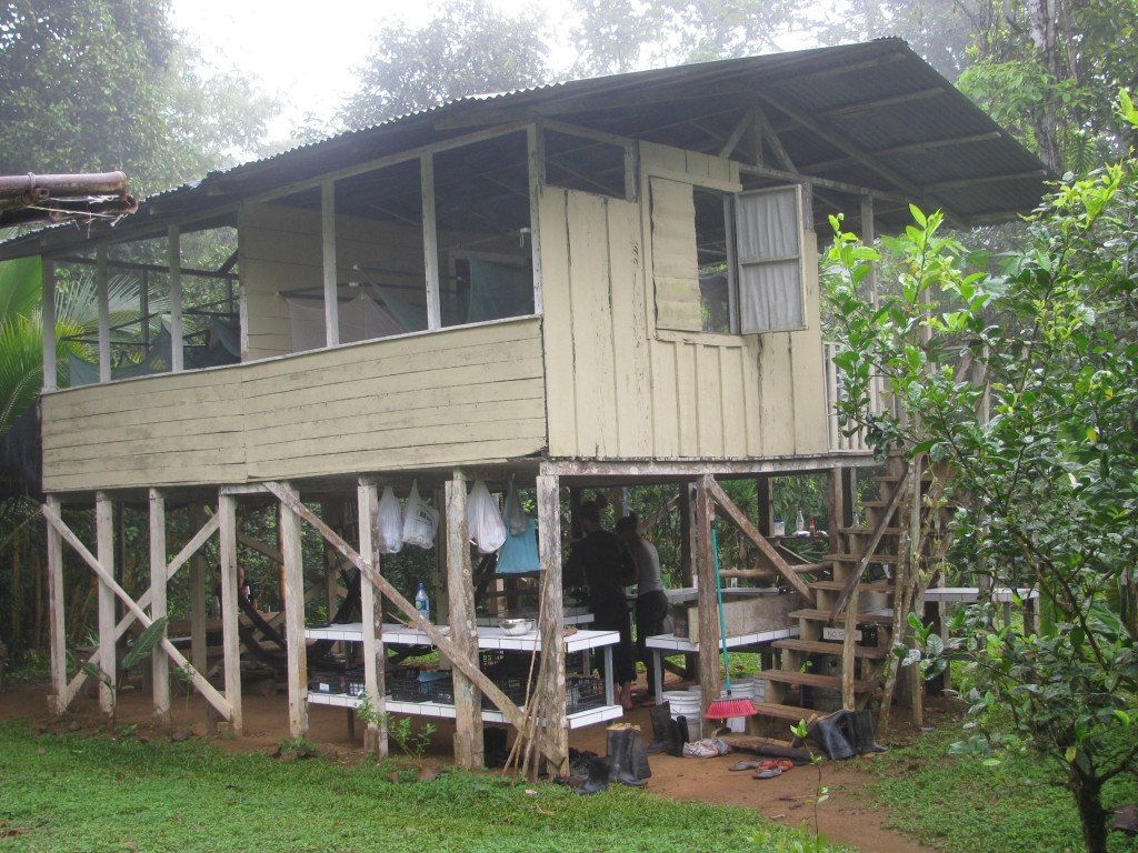
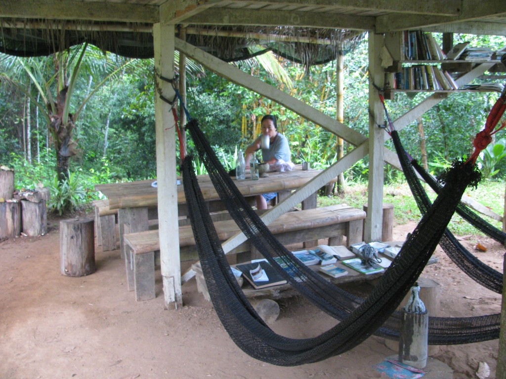
We spent three days and two nights there. The digs were more than adequate.
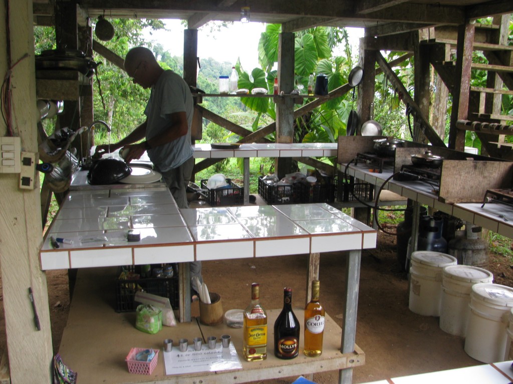
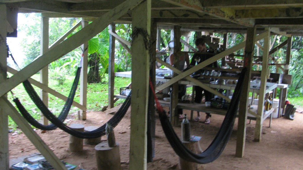
Believe it or not, guys carry canisters of natural gas up, and there are 7 burners to cook on. A little solar panel provides enough electricity to power a few LED’s and charge a phone. There’s drinkable running water, showers and a sit down toilet.
There’s room to hang out and/or eat.
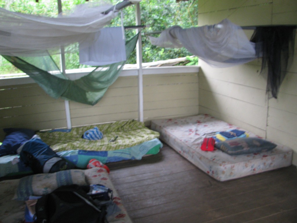
Sleeping is upstairs. That would be alright except my mosquito net didn’t stay closed very well. I must have a hundred bites, right now as I write.
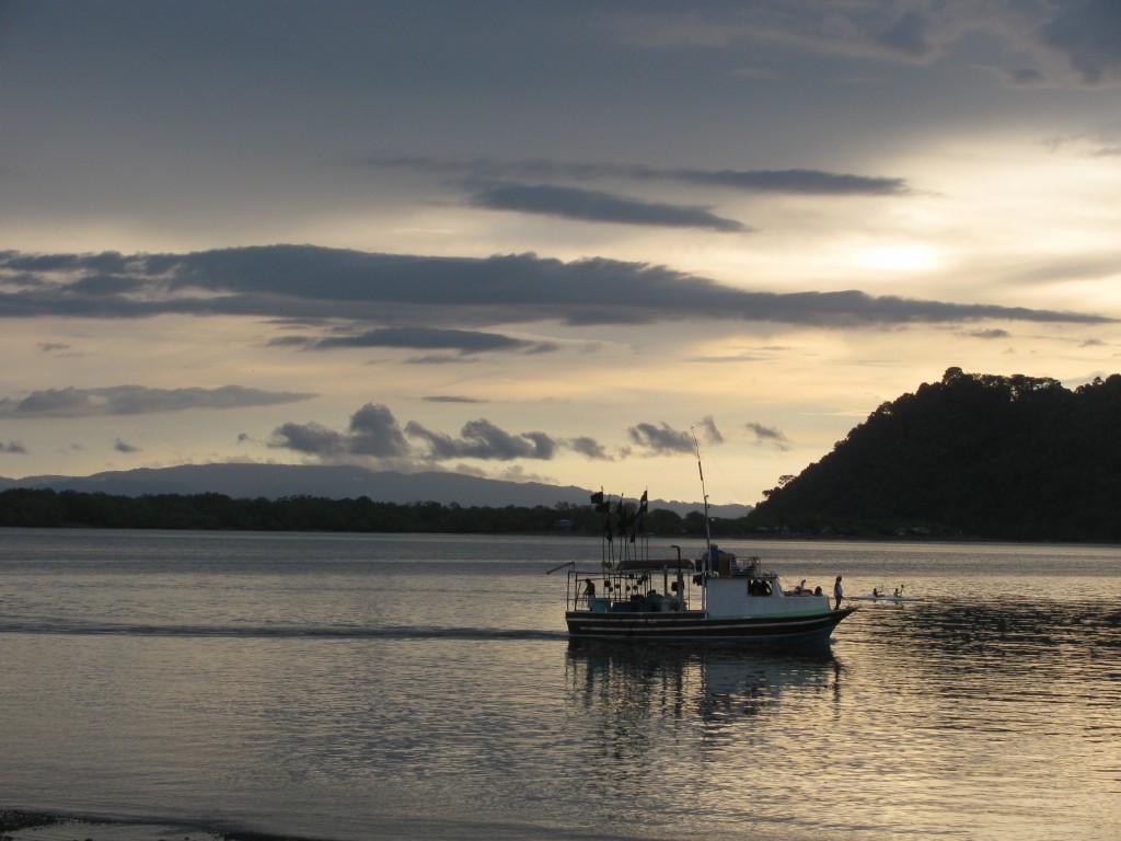
Then it was time to return the car and head for Panama. From Puerto Jimenez, you can take a ferry to Golfito. From there, it’s only a two hour bus ride to the border. Golfito’s pretty nice. Very many local and foreign tourist go there. It was a big port for the United Fruit Company when it ruled much of Central America. That’s all over with, of course, and the big houses are falling apart now. What’s left is a quiet town that reminds me of a biggish Tamales Bay (for those of you who know the San Francisco Bay Area).
After that sweltering lowland scene, we headed straight for Boquete, Panama, in the Panamanian highlands. Ahhhh, it’s nice to be cool again. I’ll write again soon. Be well, all of you

