Kalpa is the time it will take to lift the veil of ignorance from the world. Once every seven years, Maya flies over the sacred mountains of the Himalaya. With each pass, her veil brushes over the mountaintops. After one kalpa, the mountains will be worn down to sea level. It has been calculated for this to take 4.18 billion years.
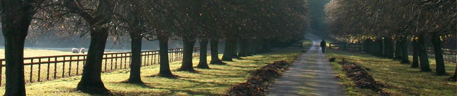
Kalpa is also a lovely village in the Kinnaur Valley of eastern Himachal Paradesh. It’s in the foothills of the Himalaya, at about 9500 feet. Mountain views from there are spectacular, with several peaks within not too many miles rising to about 19,000 feet. The rains of summer are nearly over, and the weather is still warm, reaching maybe 75 degrees. Flowers are in full bloom. Crops of grains and apples are being harvested. People are preparing for winter. There are even fewer tourists than during the hot months of May and June. I saw about six in the last week. It’s a simple life up there. There are no internet cafes, hence no entries into this blog or responses to your emails.
The roads, such as they are, are in poor condition, and driiving about is time consuming. When I said I’d write in (What did I say?) a couple of days, I didn’t yet appreciate the travel times involved and our staying three days in Kalpa and two in Ratcham in the Sangla Valley. Now I’m in the tourist town of Manali, way north of there, where there are loads of internet places.
I’ve been wracking my brain, trying to decide what I can say about the Kinnaur and Sangla Valleys and what we did. It’s come down to what it always comes down to. I can’t share it all, not even a significant fraction. It’ll be as many memories as I can carry around in my head. I’ll bore people with stories and descriptions till they don’t want to hear it and I feel one dimensional anyway. A few of the really vivid experiences that affect me personally will have to be listened to more often than I like. One gets driven to blab.
That said, here’s a synopsis of what’s happened. From Shimla, Rakesh and I headed into the mountains. For a while it was two lanes off and on, windy, but if it weren’t for the trucks, you could average maybe 30 miles per hour. Then it became mixed paved one lane/gravel/dirt. After Rampur, there is much less traffic. Finally you turn left off the main road, which is essentially a military road (permit required) looping close to the Chinese border and coming out and down to the north, and go a few kilometers to Kalpa. It’s all beautiful. I’ll post some pictures later tonight or tomorrow. I would have done it now, but I forgot my USB cord to connect to the computer.
 After Kalpa, we went back down the road a bit and up the Sangla Valley to the south. This, though with somewhat less spectacular views, was even prettier. Even though it is close to the Kinnaur, it gets a lot more rain. Hence it’s more green, and the colors of the crops and flowers are stunning. It’s also more walking friendly. MY trekking days are numbered, so it was wonderful to walk along the flats beside the Sangla River. Rosehips grow almost like Pyracantha. The principle crop there is a grain called ogla, and it has bright orange/red leaves. There is also mustard, to add yellow to the kaleidoscope. One can walk through this, watching the people hand cut and thrash the ogla, pick rosehips for yourself, and look up at the valley walls as they rise steeply to either side and the peaks of the high mountains about 40 kilometers east. We walked back on the high trail. It’s the same view you get from the car in many places, but walking makes it different. I saw a fox. There are black bears to, but they only come around at night, I’m told, to eat from the garbage, just like in the States.
I’ll be back later.